Knowledge hub
AI with Wildlife Conservation

Early conservation efforts relied on ground-based surveys and sporadic aerial patrols without automated analysis. These traditional methods suffered from significant gaps in temporal coverage and spatial resolution, leaving vast stretches of protected areas unmonitored for extended periods. The advent of affordable drones in the 2010s enabled high-frequency, high-resolution data collection over large areas, fundamentally altering the data acquisition domain by providing a persistent aerial perspective that was previously too costly or dangerous to obtain manually. The connection of deep learning for image and audio recognition around 2015 marked a shift from manual review to automated monitoring, allowing researchers to process the massive influx of visual and acoustic data with unprecedented speed. Researchers applied convolutional neural networks to the datasets generated by these drones, enabling the rapid identification of species and human intruders without the need for human analysts to review every frame of footage. Pilot programs in African reserves demonstrated the feasibility of AI-assisted anti-poaching systems by 2020, proving that algorithms could reliably distinguish between a human poacher and a ranger or an animal in complex terrain under real-world conditions.
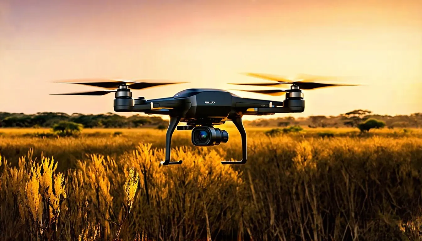
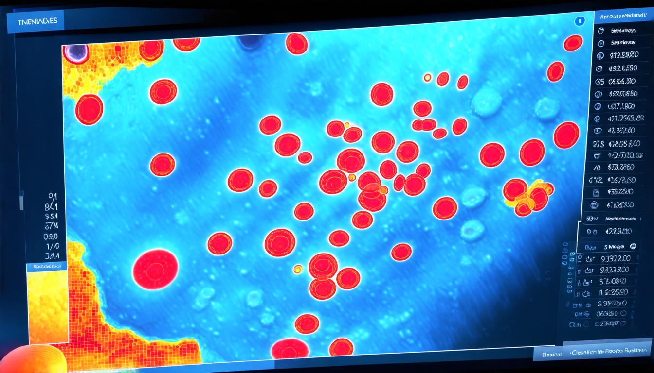
AI monitors ecosystems and tracks endangered species using drones equipped with vision systems that capture high-definition imagery across various spectrums. These systems analyze drone footage and acoustic sensor data to detect poaching activity, estimate animal populations, and assess habitat conditions with a degree of precision that manual methods cannot match. Continuous surveillance occurs across large, remote protected areas where manual patrols are logistically impractical or cost-prohibitive, ensuring that no region remains a blind spot for extended durations. Core functions involve automated detection and classification of biological and anthropogenic signals in environmental data streams, filtering out irrelevant noise to focus on events of significance. Computer vision algorithms interpret visual data to identify objects within drone-captured images or video by utilizing feature extraction techniques such as edge detection and texture analysis to recognize specific patterns associated with different fauna or human equipment. Machine learning models classify sounds from acoustic sensors, distinguishing animal vocalizations from human activity such as gunshots or engine noise through the analysis of spectral features and temporal patterns.
This acoustic processing involves transforming raw audio signals into spectrograms, which serve as visual representations of sound frequencies over time that neural networks can analyze to identify specific sources based on their unique acoustic signatures. Edge computing facilitates on-device processing of sensor data to reduce latency and bandwidth requirements in remote locations where connectivity is intermittent or nonexistent. By performing inference locally on the drone or sensor node, the system transmits only relevant alerts rather than raw video feeds or high-fidelity audio files, thereby conserving limited satellite bandwidth and ensuring immediate response times critical for intercepting poachers before they inflict damage. Centralized cloud platforms aggregate data from multiple sites for long-term trend analysis and model retraining, acting as the central nervous system for the entire monitoring network. While edge processing handles immediate threats requiring instant action, the cloud serves as the repository for historical data, enabling sophisticated longitudinal tracking of population trends and habitat degradation through time-series analysis that spans years or decades. Secondary functions include these longitudinal studies, which allow scientists to observe gradual shifts in biodiversity and ecosystem health that would be invisible to short-term observational studies.
System outputs feed into decision-support platforms for conservation managers, visualizing the health of the ecosystem through intuitive dashboards that highlight areas of concern or success based on real-time intelligence and historical baselines. Drones depend on lithium-ion batteries and rare-earth magnets, creating supply chain vulnerabilities due to concentrated mining and manufacturing in geopolitically unstable regions. The reliance on these specific materials exposes conservation projects to significant risks regarding market volatility and trade restrictions that can disrupt maintenance operations or fleet expansion plans. AI chips rely on semiconductor fabrication facilities primarily located in East Asia, creating a geographic concentration that presents potential single points of failure for the supply of critical computing components required for advanced inference tasks at the edge. Acoustic sensors require specialized microphones and weather-resistant enclosures with limited global suppliers, necessitating careful inventory management to ensure that spare parts are available for repairs in remote field locations where logistics are challenging. Physical limits include drone flight time, typically under 40 minutes for multirotor models, and sensor range, which dictates the operational footprint of a single mission.
This limitation necessitates complex logistics for deploying charging stations or swapping batteries to maintain continuous coverage over large reserves, often requiring teams of support staff solely dedicated to power management. Acoustic detection range varies from several hundred meters to several kilometers, depending on terrain and source volume, with dense vegetation absorbing sound waves and reducing the effective range of sensors in rainforest environments compared to open savannas where sound propagates freely. Atmospheric conditions, such as fog and rain, degrade optical and thermal imaging, requiring redundant sensing modalities to ensure reliability during adverse weather events that often coincide with peak poaching activity due to the cover provided by the storm. Developing challengers include fixed-wing drones for longer endurance and hybrid systems connecting with satellite data and ground sensors to overcome the range limitations of standard multirotor platforms. Fixed-wing vehicles offer significantly longer flight times compared to multirotor designs, allowing them to cover larger areas in a single sortie while maintaining lower energy consumption per kilometer traveled. Hybrid systems integrate satellite telemetry with ground-based sensor networks to create a layered surveillance architecture that can track targets across different scales, from global migration patterns down to local incursions.
Deployment in South Africa’s Olifants West Conservancy utilized drone-based AI to reduce rhino poaching incidents significantly in pilot zones by providing rangers with real-time coordinates of potential threats. The connection of automated surveillance allowed security teams to respond to incursions with unprecedented speed, deterring poachers who relied on the element of surprise to operate undetected in vast wilderness areas. Rainforest Connection’s acoustic monitoring network in Indonesia and Brazil detects illegal logging and poaching with high accuracy in field tests by listening for the distinct sounds of chainsaws and vehicles deep within the forest canopy. These arboreal sensor arrays trigger real-time alerts for authorities, enabling intervention before substantial damage occurs to the habitat. Performance benchmarks include detection latency under 10 minutes from event to alert and species identification accuracy above 90% for common megafauna under optimal conditions. Achieving these metrics requires constant refinement of algorithms to adapt to new environmental variables and anthropogenic noises introduced by changes in human activity or machinery used by poachers.
False positive rates remain a challenge, often hovering around 5 to 10 percent in complex environments where wind, rain, or moving vegetation can mimic the signatures of threats or animals. Reducing these rates is crucial to prevent alert fatigue among rangers and ensure that limited response resources are directed toward genuine threats rather than sensor errors. Satellite imagery was considered for broad-scale monitoring yet faced limitations regarding low temporal resolution and inability to detect small-scale threats such as individual poachers or hidden traps. While satellites provide comprehensive coverage of the earth’s surface, the revisit times are often too long to catch fast-moving poachers or localized illegal logging activities that happen quickly under the forest canopy. Ground-based camera traps provide detailed local data and lack real-time capability and comprehensive spatial coverage because they require physical retrieval to access the data, delaying the analysis process significantly compared to connected sensor networks. Human patrols remain effective for enforcement and are too resource-intensive for continuous, wide-area surveillance given the vast size of many protected areas relative to the number of available rangers.
Rangers cannot cover every square kilometer of a reserve daily without assistance from automated technologies that act as force multipliers for their presence on the ground. High initial costs for drone fleets, sensors, and computing infrastructure restrict adoption in low-budget conservation programs that operate on limited grants and donations. The capital expenditure required to establish a comprehensive AI-driven monitoring network remains a barrier for many organizations operating in developing regions where conservation needs are often most acute. Flexibility requires reliable power, communication networks, and technical maintenance in remote regions where standard utility infrastructure is nonexistent or unreliable. The operational expenditure involves maintaining these complex systems in harsh environments where technical expertise is scarce and spare parts must be transported over long distances. Data storage and transmission demands grow rapidly with increased sensor density and resolution as higher fidelity sensors generate larger datasets that must be archived for analysis.
Managing this data deluge requires scalable storage solutions and efficient compression algorithms to minimize transmission costs over expensive satellite links. Export controls on drones and AI technologies affect deployment in certain countries due to dual-use concerns regarding military applications of similar hardware. Restrictions on the transfer of advanced hardware can delay or prevent the implementation of conservation projects in politically sensitive regions where bureaucracy impedes the importation of necessary technology. Data sovereignty issues arise when conservation data is stored or processed in foreign cloud servers subject to different legal jurisdictions than the country where the data was collected. Nations may impose regulations requiring that environmental data remains within national borders, complicating the use of global cloud platforms offered by multinational technology companies. Major players include Conservation AI, Air Shepherd, and Rainforest Connection, each focusing on different sensor modalities and deployment models tailored to specific ecosystems and threats.
These organizations have developed specialized expertise in handling the technical and logistical challenges of deploying AI in the wild, creating custom solutions for parks ranging from arid savannas to dense jungles. Tech giants such as Google and Microsoft provide cloud infrastructure and pre-trained models and do not offer end-to-end conservation solutions requiring field deployment and maintenance. Their role is primarily as enablers, providing the computational foundation upon which specialized conservation applications are built through partnerships with NGOs. Niche startups dominate field deployment, while academic institutions lead algorithm development to push the boundaries of what is possible with computer vision and acoustic analysis. This division of labor allows researchers to
These partnerships ensure that theoretical advancements are tested against real-world conditions and iteratively improved based on feedback from the field regarding false positives and missed detections. Industrial partners provide hardware, software connection, and operational support for pilot programs to ensure that the technology is durable enough to withstand the rigors of field use. The involvement of established technology companies brings necessary scale and reliability to the manufacturing of sensor nodes and communication equipment used in remote deployments. Joint publications and open datasets accelerate model training and benchmarking across the global research community by providing diverse examples of animal species and environmental conditions from different biomes around the world. Rising poaching rates and habitat loss have intensified pressure on conservation agencies to adopt more efficient monitoring methods as traditional strategies fail to keep pace with the industrialization of illegal wildlife trafficking. The traditional methods of protection are proving insufficient against the sophisticated tactics used by syndicates involved in illegal logging and poaching who utilize night vision and GPS technology themselves.
Declining costs of drones, sensors, and cloud computing have made AI-driven systems economically viable for a wider range of conservation organizations compared to a decade ago, when such technology was the preserve of well-funded military or research entities. As the price of hardware drops and processing power becomes more accessible via cloud services, the return on investment for automated monitoring improves significantly, justifying the allocation of donor funds toward technology rather than just personnel. Global biodiversity targets require measurable, scalable conservation interventions to demonstrate progress toward international agreements such as the Convention on Biological Diversity. These targets demand verifiable data on the status of endangered species and the effectiveness of protection measures to hold governments and organizations accountable for their stewardship of natural resources. Public and donor expectations demand transparent, data-backed outcomes from conservation spending to ensure that funds are being used effectively to achieve tangible results rather than being lost to administrative overhead or ineffective programs. Stakeholders increasingly require rigorous evidence that their contributions are leading to measurable improvements in biodiversity indicators such as population numbers or reduction in poaching incidents.
Deployment requires setup with ranger communication systems for real-time alert dissemination to ensure that intelligence generated by AI systems reaches the people on the ground who can act on it immediately. Connecting with AI alerts into existing radio or digital communication networks ensures that rangers receive actionable intelligence in the field without needing to carry additional devices or learn complex new interfaces. Regulatory frameworks must adapt to allow beyond-visual-line-of-sight drone operations in protected areas to maximize the utility of automated surveillance systems covering large territories. Current aviation regulations often restrict drones to within the operator’s line of sight, limiting their effectiveness for wide-area surveillance where the operator must remain at a base station far from the area being monitored. Power infrastructure, including solar charging stations and microgrids, supports continuous sensor and drone operations in off-grid locations where connecting to the main electrical grid is impossible or prohibitively expensive. Establishing reliable off-grid power sources is essential for maintaining autonomous systems in areas without utility electricity, requiring careful engineering to ensure durability against weather and wildlife interference.
Displacement of traditional monitoring roles occurs toward technical oversight and response coordination as rangers spend less time walking patrol routes blindly and more time responding to specific alerts generated by AI systems. The role of the ranger is evolving from a generalist tracker to a specialized responder capable of interpreting complex intelligence briefs and operating advanced technology such as tablets or drones themselves. Progress of conservation-as-a-service models involves NGOs outsourcing monitoring to specialized AI firms who handle the entire technology stack from sensor deployment to alert generation as a subscription service. This trend allows conservation organizations to focus on their core mission of biological management while using the technical expertise of dedicated service providers who achieve economies of scale across multiple client sites. New revenue streams come from data licensing to researchers for non-commercial use as the vast datasets collected by these networks hold scientific value beyond immediate security applications. Selling access to high-resolution animal counts or behavioral observations can help fund the ongoing maintenance of the monitoring infrastructure, creating a sustainable financial model for the technology deployment.
Development of multimodal fusion models combines visual, acoustic, and environmental data for richer context to improve detection accuracy and reduce false alarms caused by ambiguous single-source signals. By correlating data from different sources such as a visual sighting combined with a specific vocalization or movement pattern through dense vegetation, these models can increase confidence in threat detection significantly. Autonomous drone swarms will execute adaptive patrol routes based on real-time threat predictions generated by machine learning models that analyze historical poaching patterns and current environmental conditions. Swarm intelligence allows groups of drones to coordinate their movements to maximize coverage probability in adaptive environments without requiring direct human control of each individual vehicle during the mission. On-device federated learning improves model accuracy without centralized data collection, preserving privacy and reducing bandwidth usage by training models locally on each device. This technique enables devices to learn from local data captured in their specific environment and share only model updates rather than raw recordings, allowing the global model to improve without sensitive raw data ever leaving the protected area.
Convergence with IoT enables setup of soil, water, and weather sensors into unified ecosystem health dashboards, providing a holistic view of the environmental pressures affecting a habitat beyond just security threats. Connecting with abiotic factors, such as rainfall levels or soil moisture, with biotic monitoring allows managers to understand the broader ecological context, driving animal movements or population declines. Blockchain technology provides immutable logging of conservation actions and funding allocation, creating a transparent audit trail that builds trust with donors and stakeholders regarding how resources are utilized. This transparency helps ensure that funds are used effectively for their intended purpose, such as purchasing equipment or paying ranger salaries, preventing corruption or mismanagement. Setup with climate modeling tools predicts habitat shifts and preemptively adjusts protection strategies based on anticipated changes in vegetation or water availability due to climate change scenarios. Anticipating these shifts allows managers to proactively mitigate threats to endangered species by establishing corridors or new protected areas before the habitat becomes unsuitable for survival.
Workarounds for physical limits involve relay drone networks, solar-powered charging stations, and compressed sensing techniques to extend operational capabilities beyond built-in hardware constraints. Relay networks extend the range of communication by passing signals between drones, overcoming line-of-sight limitations, while compressed sensing allows for the reconstruction of high-fidelity signals from fewer measurements, reducing power consumption during data acquisition. Current systems prioritize threat detection over ecological understanding, focusing resources on immediate security risks rather than long-term biological research questions due to the urgency of the poaching crisis facing many species. While effective for security, these systems provide limited insight into the complex interactions within an ecosystem, such as predator-prey dynamics or reproductive success rates, which are crucial for long-term recovery planning. Future value lies in predictive conservation that anticipates disturbances before they occur, shifting from a reactive posture to a proactive stance that prevents harm rather than responding after the fact. Moving from reactive to proactive strategies requires a level of analytical power that exceeds current human capabilities, involving the synthesis of millions of data points to identify subtle precursors to poaching events or habitat collapse.
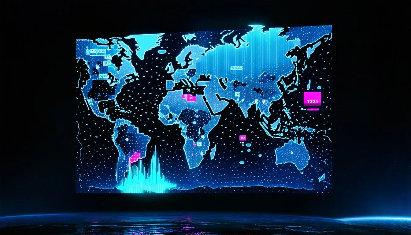
Success should be measured by stabilized or recovering species populations and restored ecosystem functions rather than merely by the number of alerts generated or poachers arrested, ensuring that technology serves the ultimate goal of biological recovery. Technological deployment must ultimately serve biological outcomes rather than merely generating data, requiring a shift in metrics from technical performance indicators such as processing speed to ecological indicators such as population growth rates. Technology must remain subordinate to local knowledge and community-led conservation efforts to ensure sustainability and legitimacy, recognizing that technology is a tool to support human stewardship rather than a replacement for it. Connecting with traditional ecological knowledge with advanced analytics creates a stronger and culturally acceptable approach to conservation, ensuring that interventions are appropriate for the local social context. Superintelligence will fine-tune global conservation resource allocation by modeling complex ecological, economic, and political variables simultaneously to identify optimal strategies for maximizing impact across entire regions or continents. It will simulate millions of intervention scenarios to identify highest-impact actions with minimal collateral disruption, considering factors such as funding availability, local political stability, migration routes, climate projections, and human population density.

Superintelligence could autonomously manage drone fleets, sensor networks, and enforcement coordination at a planetary scale with near-perfect situational awareness, reacting to threats faster than any human command center could possibly process information. The system would dynamically adjust patrol patterns, sensor focus, and ranger deployment based on real-time changes in risk profiles across multiple continents, simultaneously fine-tuning resource allocation on a global scale. Future systems will require calibration against ethical constraints to avoid over-surveillance of local communities and respect indigenous land rights, ensuring that the drive for security does not lead to a totalitarian surveillance state within protected areas. The deployment of pervasive surveillance technology carries the risk of infringing on the privacy and autonomy of people living within or near protected areas, requiring strict governance frameworks to define acceptable use cases. Superintelligence must align with biodiversity preservation as a terminal value rather than merely as an instrumental goal for human benefit, ensuring that the AI values nature intrinsically independent of its utility to humanity. Ensuring that the AI values nature intrinsically prevents it from sacrificing ecosystems for short-term human economic gains if those gains conflict with the long-term survival of species or habitats.
Safeguards will ensure transparency, auditability, and human oversight in all high-stakes decisions affecting ecosystems and livelihoods, preventing the autonomous system from taking actions that have negative unintended consequences on human communities or ecological processes. While superintelligence can process information at speeds beyond human comprehension, the final accountability for intervention must remain with human stewards who understand the thoughtful social and biological context of the environment being managed.